THE SENTINEL ADVANTAGE/PROCESS
A STANDARDS-DRIVEN APPROACH TO MAPPING AND SPATIAL INTELLIGENCE
Sentinel Drone Solutions and its affiliated pilots are not licensed surveyors or engineers, nor do we make any such claim. We provide services and data acquisition in support of those fields.
At Sentinel Drone Solutions LLC, mapping is more than collecting aerial imagery. Our process transforms complex physical environments into accurate, measurable, and actionable spatial intelligence. Using advanced drone technology, digital twin platforms, thermal imaging systems, and standardized data collection procedures, we create reliable representations of facilities, infrastructure, campuses, and critical assets
Our methodology is built on precision, consistency, and operational value.
Every project follows documented capture standards, data management procedures, quality control reviews, and client-governed security protocols to ensure the information delivered is accurate, organized, and useful long after the initial collection is complete.
When you partner with Sentinel Drone Solutions LLC, you gain more than maps. You gain a scalable intelligence framework built on four core principles:
Accurate Mapping & Digital Twins
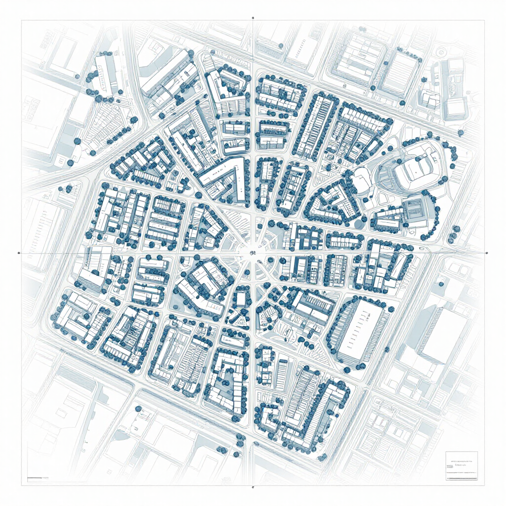
We create highly detailed aerial maps, three-dimensional models, and digital twins that provide a clear understanding of physical environments. Our deliverables are based on actual captured conditions and are designed to support planning, operations, inspections, asset management, and long-term decision-making.
Inspection & Thermal Intelligence
Our visual and thermal inspection capabilities help identify conditions, anomalies, and areas requiring further evaluation. From infrastructure and facilities to rooftops, utilities, and industrial assets, we provide actionable information while reducing the need for personnel exposure to difficult or hazardous locations.
Secure Client-Controlled Data
All mapping, imagery, models, and associated data remain under client governance. Secure access controls, encrypted storage options, and controlled permissions ensure organizations maintain ownership and management of their information.
Scalable Multi-Site Intelligence
Whether managing a single facility or hundreds of locations across multiple states, our systems provide a standardized approach to collecting, organizing, and accessing spatial intelligence. This creates consistency across an entire organization while reducing information gaps and improving operational awareness.

The Sentinel Advantage/Process
The Standards-Driven Approach to Spatial Data
Our mapping methodologies are not theoretical. Engineered by a veteran public safety leader with over three decades of active-duty SWAT command and high-risk operational experience, Sentinel operates under a rigorous, standards-driven framework.
When you partner with Sentinel Drone Solutions, you don't just receive aerial images; you gain a sophisticated decision-support environment built on three immutable pillars:
- Absolute Client Data Ownership: We maintain a strict data governance framework. You maintain 100% proprietary ownership of all mapped assets and digital twin data.
- Enterprise-Grade Security: Sensitive structural layouts, utility data, and tactical models are managed with robust, end-to-end security protocols.
- Actionable Tactical Clarity: We turn chaotic physical data into intuitive, single-source-of-truth digital environments that accelerate comprehension and drive seamless cross-agency coordination.