THREAT ASSESSMENTS
IDENTIFY VULNERABILITIES. IMPROVE AWARENESS. SUPPORT INFORMED DECISIONS.
Sentinel Drone Solutions LLC provides comprehensive interior and exterior threat assessments designed to help organizations better understand potential vulnerabilities, operational challenges, and environmental risks across their facilities and properties.
Drawing upon more than 30 years of public safety and tactical operational experience
Our assessments evaluate facilities from a practical, real-world perspective. We examine physical layouts, access points, perimeter conditions, visibility concerns, movement corridors, critical infrastructure, environmental factors, and other site-specific considerations that may impact preparedness, safety, and security.
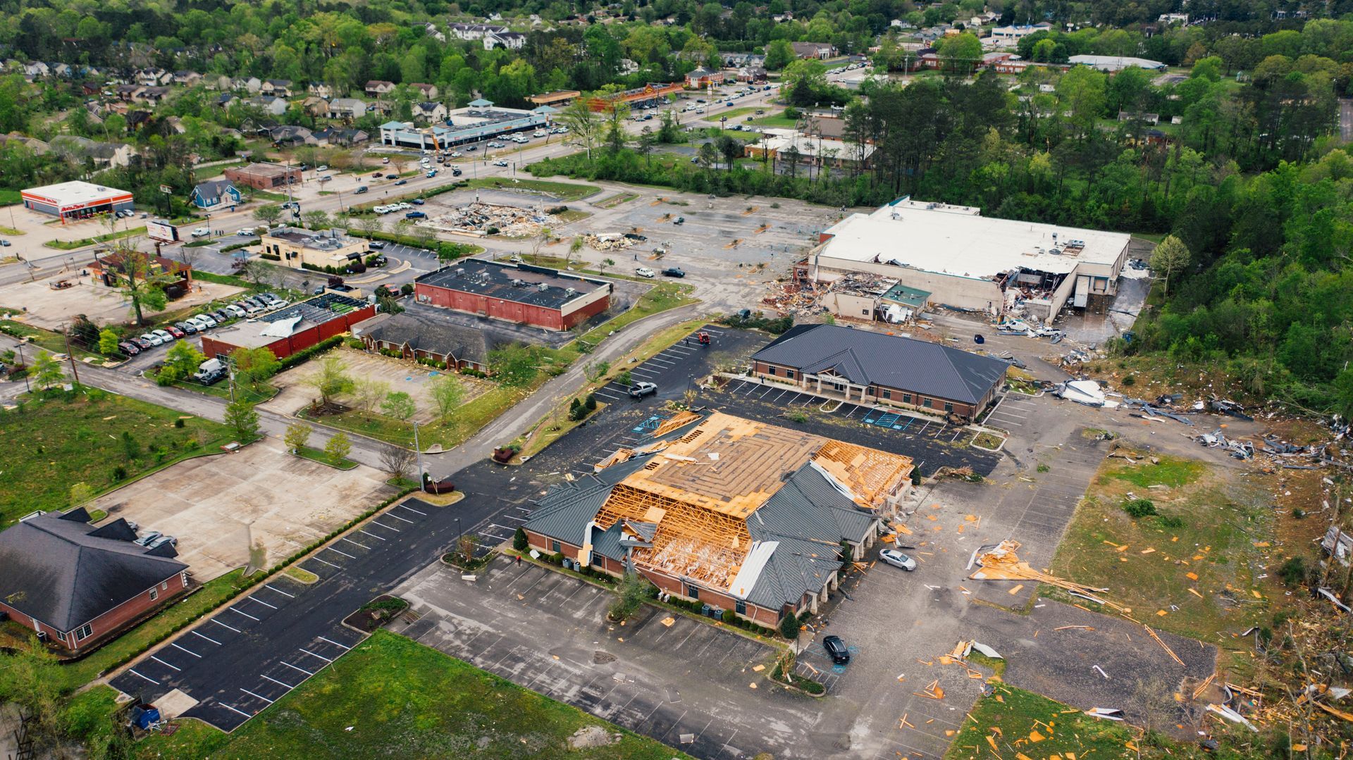
To support our observations, we may utilize aerial photography, drone-based imagery, thermal imaging, ground-based photography, digital mapping, and other imaging technologies when appropriate or requested by the client. These tools help document conditions and provide additional perspectives that may not be readily visible during a traditional site walk-through.

Following the assessment, clients receive documented observations, supporting imagery, and general recommendations intended to assist leadership teams in evaluating potential improvements, planning future initiatives, and strengthening overall situational awareness.
CLIENT-CONTROLLED DECISIONS
Sentinel Drone Solutions LLC provides observations and recommendations
Based upon conditions observed at the time of assessment. All decisions regarding security measures, policies, procedures, facility modifications, staffing, implementation strategies, and risk management remain solely the responsibility of the client.
Our assessments are intended to support informed decision-making and preparedness efforts. Sentinel Drone Solutions LLC does not certify facilities as secure, guarantee the prevention of incidents, or assume responsibility for actions taken or not taken by the client based upon assessment findings.
Facility Management Starter Kit
The Facility Management Starter Kit is a comprehensive digital facility intelligence package designed to help organizations better understand, manage, and maintain their buildings and campuses. Using advanced drone mapping, high-resolution imagery, digital twin technology, and organized facility documentation, the kit provides facility managers with a centralized visual reference of critical assets, building layouts, exterior conditions, infrastructure, and operational information. It supports maintenance planning, capital improvement projects, contractor coordination, space management, inspections, and long-term facility stewardship by giving stakeholders fast access to accurate, easy-to-navigate facility data. The result is improved operational awareness, better decision-making, reduced time spent locating information, and a more efficient approach to managing complex facilities.